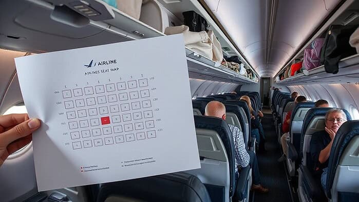
You choose a flight path by matching the aircraft’s performance to the runway’s length, width, and surface, then checking that the departure and arrival airports meet regulatory and ETOPS limits. Weather forecasts and real‑time wind data shape the route, because tailwinds can cut fuel use while headwinds or thunderstorms force detours. Fuel calculations include reserves, alternates, and safety buffers, and ATC rules dictate permissible airspace and fix spacing. Baggage handling and environmental restrictions also factor in, and the more you investigate, the deeper the details become.
TLDR
- Airlines evaluate aircraft performance, runway length, and weather forecasts to select feasible departure and arrival airports.
- Real‑time wind and jet‑stream data shape route planning, exploiting tailwinds and avoiding headwinds or turbulence.
- Baggage‑handling capabilities and airport infrastructure influence the choice of airports and flight‑level assignments.
- Regulatory limits, ETOPS ratings, and fuel reserve requirements dictate mandatory alternates and maximum diversion times.
- Air traffic control constraints, airspace class, and optimal altitude corridors are incorporated to ensure safe, efficient routing.
What Determines Airport Selection in Flight Planning?
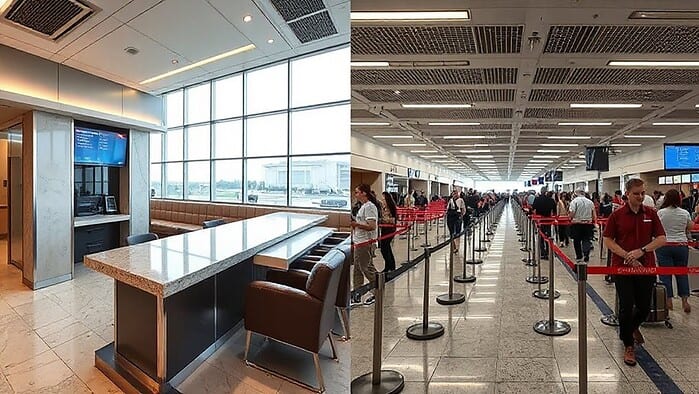
When you plan a flight, the first thing you consider is whether the airport can handle the aircraft you’ll use and the demand you expect.
You compare traffic forecasts with capacity assessments, checking runway length, width, and surface for the most demanding aircraft.
You also evaluate alternate sites, legal weather minimums, and infrastructure flexibility, ensuring the chosen airport meets projected passenger and cargo volumes.
Technology enables faster passenger throughput and improved operational efficiency. Airlines also consider how irregular or oversized baggage may be handled, since some carriers may charge extra or require specific procedures for checked boxes.
How Do Weather and Wind Shape Flight Planning Routes?
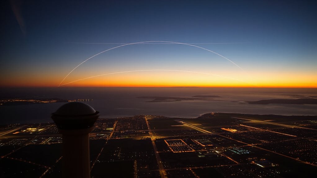
Wind and weather are the biggest variables that shape a flight’s route, and they influence every stage of planning from the initial path to in‑flight adjustments. You’ll see tailwinds at 30‑40 kft cutting fuel by up to 20 %, while headwinds push routes 50‑200 nm to chase jet streams. Thunderstorms force 100‑nm detours, and real‑time wind updates can trim fuel use 5‑15 % on transatlantic legs. Accommodation often accounts for about half of the budget
How Do Pilots Adjust Routes for Wind‑Shear and Turbulence?
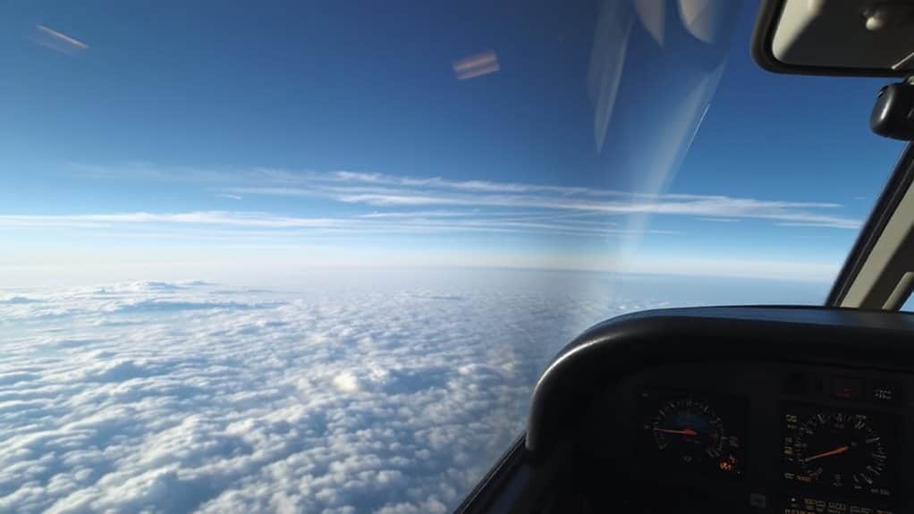
Even though wind‑shear and turbulence can appear suddenly, pilots rely on a set of proven actions to keep the aircraft safe and on schedule.
You monitor TAF codes, radar, and onboard alerts, then apply TOGA thrust, pitch‑up, and increase VAPP as needed.
Autopilot tracks ILS while you compare head‑ and tail‑winds aloft, escaping shear with maximum thrust and steady attitude.
maintain a safe distance of at least 20 miles from severe thunderstorms to minimize risk.
How Do Runway Length, Surface, and Airspace Class Influence Flight Planning?
If you’re planning a flight, the runway length, surface type, and airspace class at your departure and arrival airports are among the first variables you’ll evaluate.
You match aircraft performance data to runway length, ensuring safe take‑off and landing margins.
Surface conditions affect braking and acceleration, while airspace class dictates ATC clearance, altitude corridors, and routing constraints.
Together they shape fuel calculations, diversion options, and overall route feasibility.
If you’re also considering carrying a bear spray canister for wildlife protection, note that it’s generally prohibited in carry-on bags and most checked luggage under TSA rules, with narrow exceptions based on canister volume and active ingredient percentage.
How Do Fuel Needs and ETOPS Ratings Influence Route Choice?
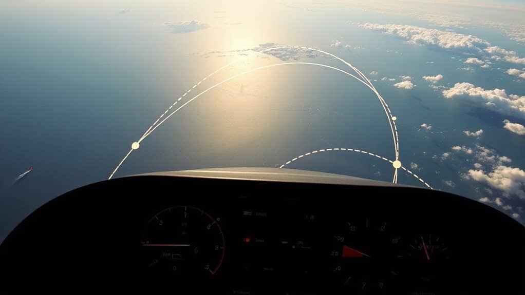
You calculate fuel reserves by adding the required amount for the planned flight, the extra needed to reach the nearest suitable alternate, and a safety buffer for unexpected conditions. Your ETOPS rating then determines which alternates are acceptable, because the aircraft must be able to veer within the certified time limit. Together, these factors shape the final route, often favoring longer oceanic legs when the aircraft’s range and ETOPS certification permit. Because thunderstorms can create hazardous conditions like turbulence and lightning near airports and along routes, airlines may also need to adjust timing or reroute to keep alternates reachable and operations safe.
Fuel Reserve Calculations
When planners calculate fuel reserves, they’ve to balance regulatory requirements, aircraft performance, and ETOPS limits to determine whether a route is viable.
You sum contingency, alternate, approach, and final reserve fuel to get bingo fuel, then subtract those from total fuel to reveal trip allowance.
Software guarantees you have enough fuel for diversions while keeping dispatch weight reasonable, applying FAR 91.167, 5 % contingency, and 30‑45 minute final reserve, adjusting for altitude, winds, and aircraft type.
secure enough fuel for diversions while keeping dispatch weight reasonable.
ETOPS Impact on Alternate Selection
Because ETOPS ratings dictate how far a twin‑engine aircraft can fly from a suitable diversion airport, they directly shape the selection of alternates and the fuel you must carry. You must choose alternates that meet Part 139 standards, runway length, and firefighting categories within the approved diversion time.
Fuel calculations include contingency for one‑engine‑inoperative cruise, so higher ETOPS ratings let you *penetrate* farther with fewer stops, while lower ratings force tighter routing and extra fuel reserves.
How Do ATC Rules and Fix Spacing Shape Your Flight Path?
If you’re flying under instrument flight rules, the FAA’s authority and the fix‑spacing standards together dictate every segment of your route. You must follow ARTCC‑issued clearances, stay on frequencies, and hit each fix no farther than 200 nm apart. Each center requires at least one fix, and merger points mark where routes split or join, keeping you on a precise, regulated path. TCAS detects nearby aircraft to provide onboard traffic advisories during close encounters, reinforcing how tightly defined routes still rely on layered collision-avoidance systems.
How Noise and Environmental Regulations Refine Flight Planning?

You’ll see that noise‑contour maps are now a core part of route planning, pushing you to steer clear of high‑impact zones around airports.
At the same time, emission‑offset requirements force you to account for the environmental cost of each flight, often adding extra steps to your filing process.
Together, these regulations shape the corridors you can use and the procedures you must follow to stay compliant.
Noise Contour Mapping
When you look at a noise exposure map, you’re seeing a scaled geographic image that shows airport noise contours in 5‑dB steps—typically 65, 70, and 75 DNL—much like a topographic map of elevation.
The contours trace equal‑level lines generated by INM software, reflecting runway geometry, take‑off direction, and temperature.
FAA rules require runway, flight tracks, and land‑use data on the map, and they flag noncompatible uses such as schools or zoos inside 65 DNL or higher zones.
This visual tool guides planners to adjust routes, protect communities, and comply with Part 150 regulations.
Emission Offset Requirements
Noise exposure maps show you where sound levels rise, but they’re only part of the scene; the next layer of planning adds carbon‑offset obligations that shape the routes you can fly.
You must calculate growth‑factor emissions, purchase eligible EEUs, and surrender them before deadlines.
Offsetting pushes you toward efficient paths, SAF blends, and EU ETS compliance, while non‑compliance incurs penalties, guiding every flight decision.
And Finally
In the end, airlines pick flight paths by balancing airport suitability, weather, wind, runway characteristics, fuel limits, ETOPS ratings, ATC constraints, and noise rules. Each factor narrows the options, and the final route reflects the most efficient, safe, and compliant choice. By considering these elements together, you confirm the aircraft follows a path that meets operational needs while respecting regulatory and environmental requirements.